5 plants worth knowing
Mauritius
Mauritius is a volcanic island ringed by a coral reef, whose landscape has been shaped for three centuries by sugarcane – fields cover most of the lowlands and plateaus. Of the old forests, full of ebonies and endemic palms, only fragments survive, mainly in Black River Gorges National Park and on steep mountains, and many native species have been saved only thanks to protection on small islets.
Hover over a plant to see on the map where it grows.
where it grows
-
 1
nativeendemic
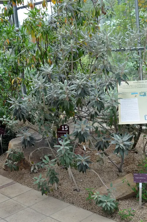
Boucle d’oreille
Ruizia boutoniana
The red, bell-shaped flowers of the “earring” grow wild only on the slopes of Le Morne – since 1992 it has been the national flower of Mauritius.
-
 2
cultivated
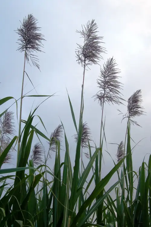
Sugarcane
Saccharum officinarum
A green sea of sugarcane covers most of the island – for more than two centuries sugar was the foundation of the Mauritian economy.
-
 3
nativeendemic
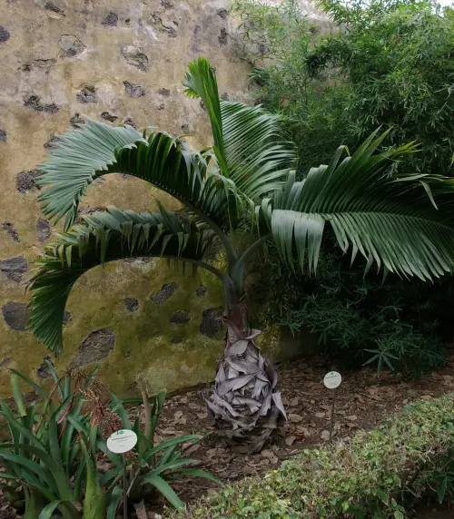
Bottle palm
Hyophorbe lagenicaulis
A palm with a bottle-shaped trunk graces tropical gardens worldwide, though in the wild only a handful survived, on Round Island.
-
 4
nativeendemic
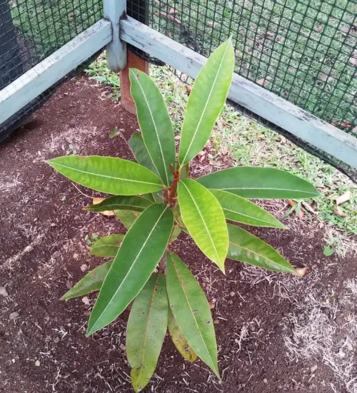
Tambalacoque
Sideroxylon grandiflorum
The “dodo tree” – for years it was believed that its seeds would only germinate after passing through the gut of the extinct bird.
-
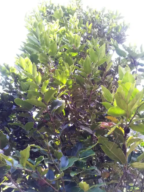 5
nativeendemic
Mauritian ebony
Diospyros tessellaria
Black ebony wood drew the first Dutch settlers to Mauritius – and very nearly led to the island’s forests being felled.
Mauritius on other Ominuvo maps
- World in NumbersPopulation: 1.2 million (2025)Source: World Bank – WDI: UN World Population Prospects (CC BY 4.0)
- Languages of the worldFrench, English · official languagesSource: Unicode CLDR (Unicode License v3)
- Prices around the worldMauritian rupee (MUR)Source: ISO 4217
- Time zones mapUTC+4Source: IANA tz database (public domain)
- Plugs and sockets of the worldType C, G · 230 V · 50 Hz
- National dishes of the world3 national dishes
- Ghost map1 ghost story
- VPN provider mapServers of 3 VPN providersSource: VPN Map (Ominuvo) (CC BY 4.0)